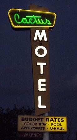
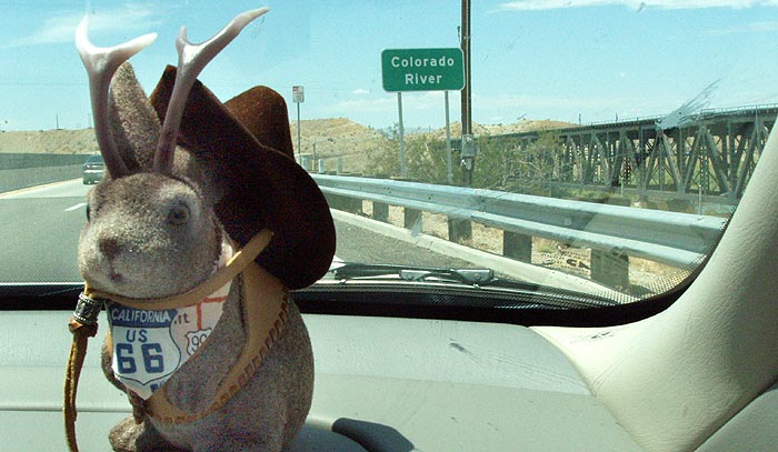
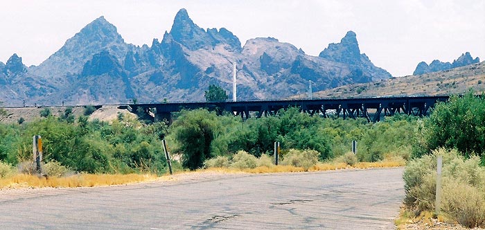
It was August 4, 2005, the sixth day of what had been a fairly leisurely road trip from Joplin, MO to Los Angeles. Since entering California the day before, we'd stuck to Rt66 whenever possible. The previous night we'd arrived in Barstow after dark and I had only shot
one photo, the Cactus Motel, in Barstow before we blasted onto the interstate to get to Rialto where we already had a motel reservation we didn't want to lose. So, we drove back to Barstow on August 4 to continue west on Rt66 where we'd left off the night before. By this time, we could hear the clock ticking on this trip because we had to be in LA the next day, so, our pace sped up quite a bit.
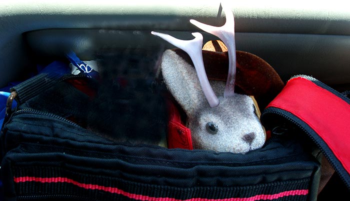
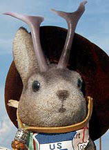
Ace and my two ever-patient friends waited as I stopped - every block, it seemed - to shoot buildings and signs on our east-to-west drive through town. To be more informative to the Route 66 traveler, I have included links to sources with more information on these places.
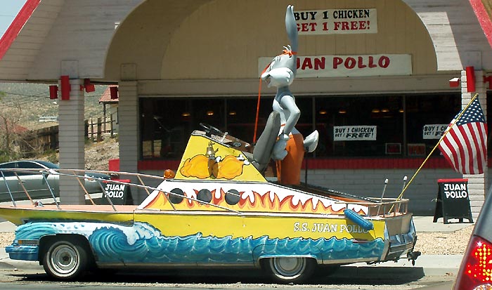
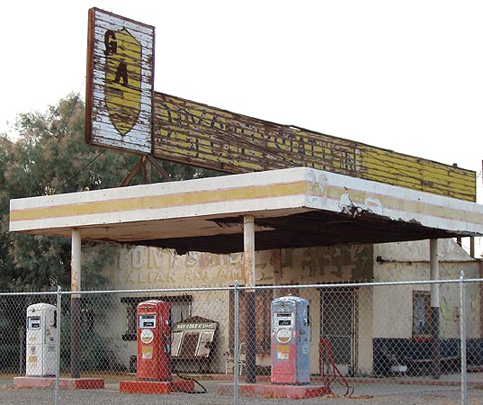
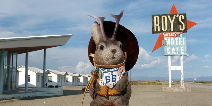
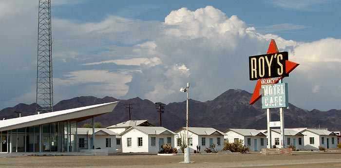
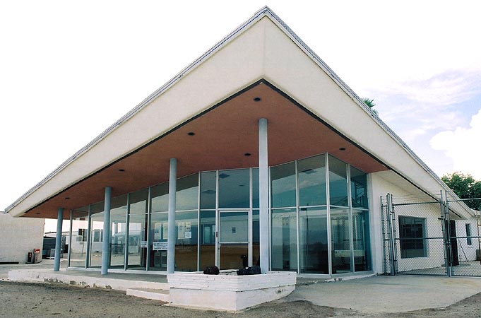
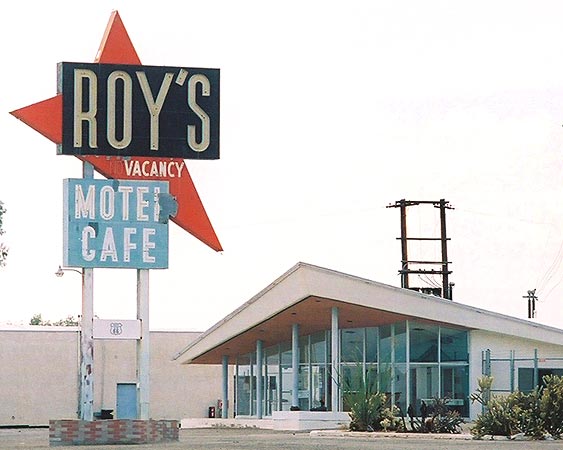
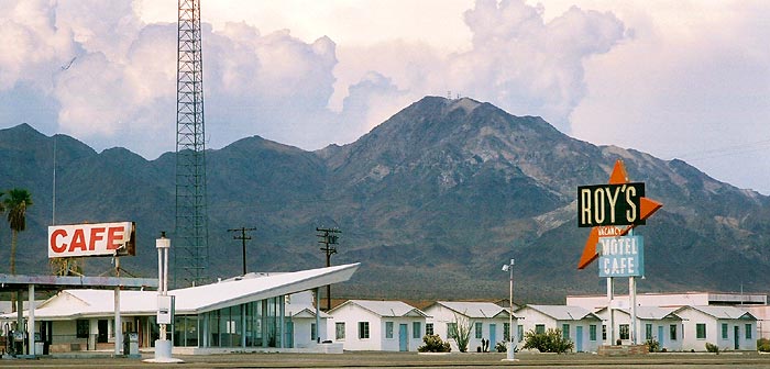
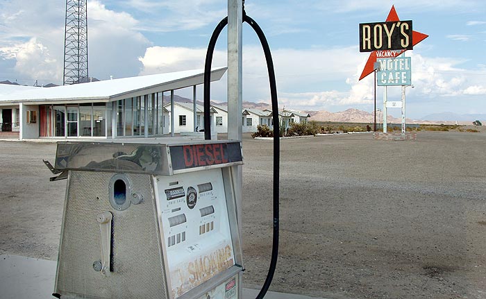
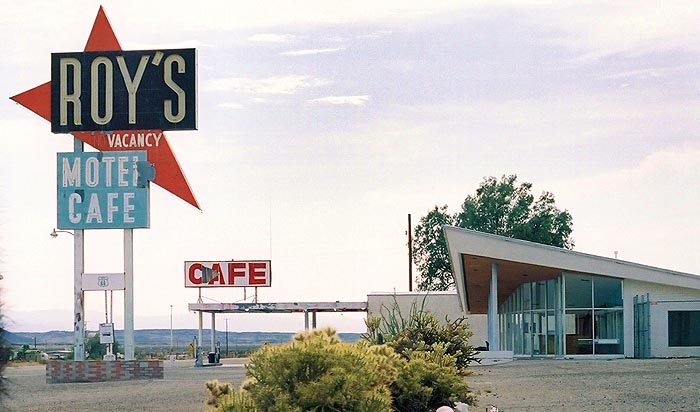
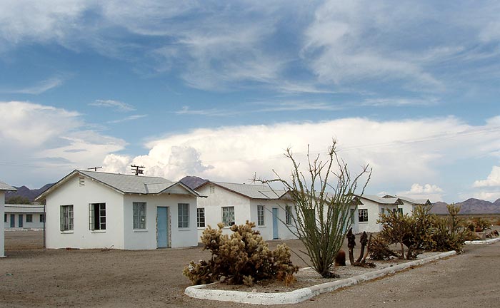
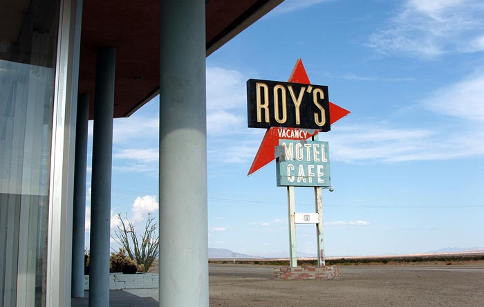
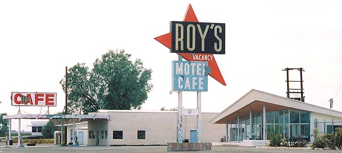
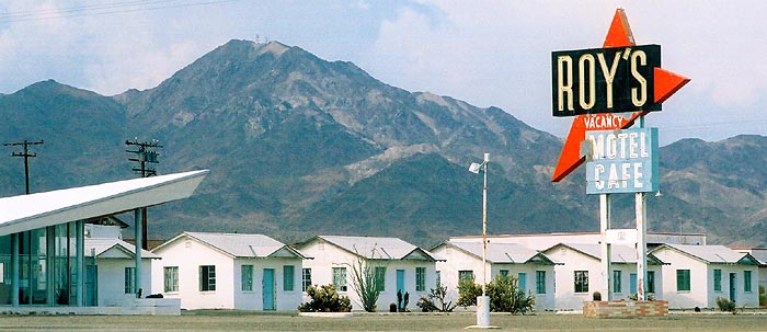
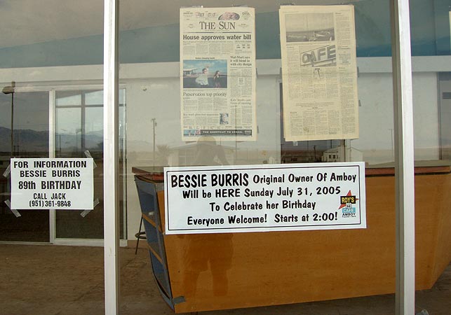
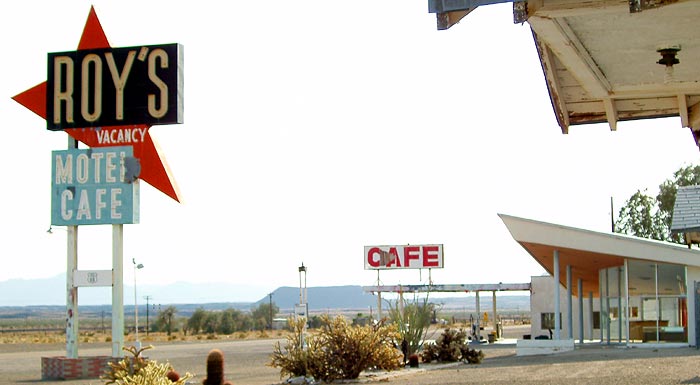
The Juan Pollo restaurant chain is owned by the man who bought
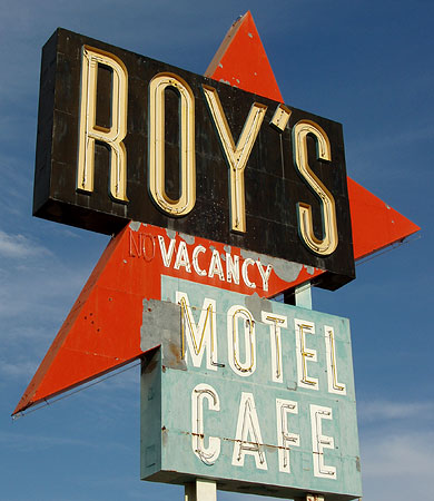
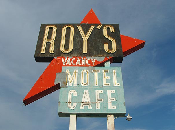
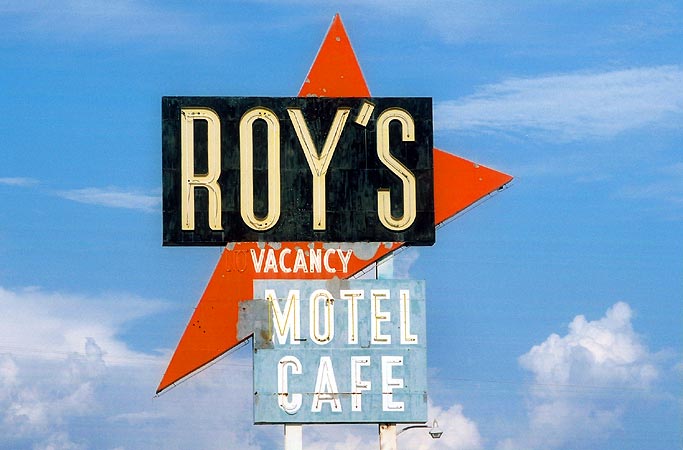
Roy's Motel and Cafe in Amboy this past year. As to the vehicle parked out front, the website of the
Barstow Route 66 "Mother Road" Museum (we didn't visit it..too bad) offers an explanation in their coverage of a 5th anniversary Car show in June of 2005: "Albert Okura & his Juan Pollo caravan of wacky parade vehicles rode in over the First Street Bridge literally stopping the show. The crowd below watched larger than life cartoon characters Bugs Bunny, Taz and Daffy Duck riding in classics, also a crazy car boat, and an off-road truck with a mini off-road truck in the bed drive into the area. About a dozen staff members (some on roller skates) served the crowd a delicious meal of rotisserie chicken with the works."
I wouldn't be inclined to include this pic or the text, except that it *does* show an attitude of involvement on the part of Okura that I hope translates into preservation for Roy's. By the way, "Juan Pollo", in Spanish, means "Juan (or John) Chicken"...I wonder what Spanish speakers think of the personalization of the food they are about to eat.
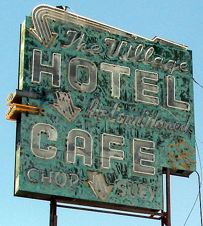
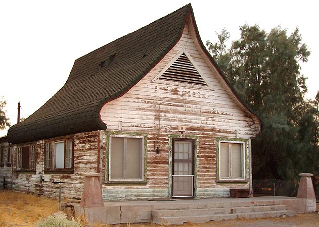
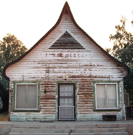
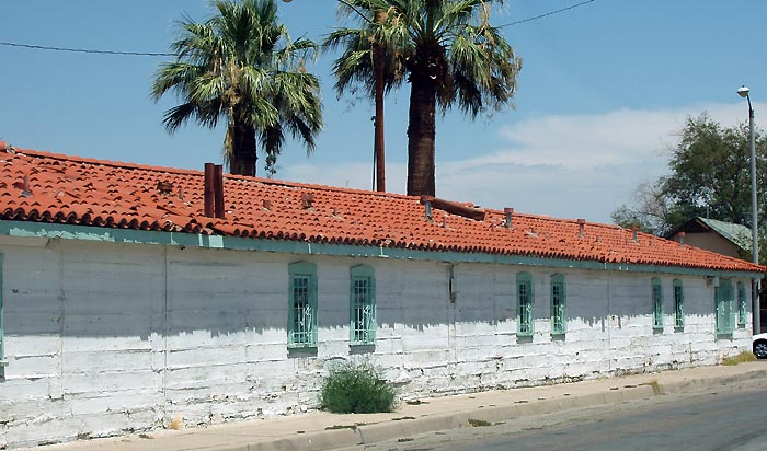
The Village Hotel and Cafe touts air conditioning and chop suey. Los Angeles Time Machines, a really useful website, offers this
review: "Talk about a hole in the wall, you could pass this place 100 times and never notice it. But it's a great slice of old Americana. It was once not only a cafe but on of those ancient 1930's hotels that has a very narrow hall way, rooms only big enough for a bed and a small bathroom down the hall. The hotel rooms are still there (and would make a great movie set!). The restaurant is a classic ultra cheap Chinese/American affair and the characters that come in here are classic small towners. Very friendly, cheap and large quantities of very non-gourmet but tasty food. A good stop on a Rt. 66 roadtrip. The current owner, Henry Wong, has been running the place since 1974, but it's a lot older than that."
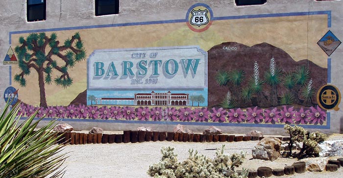
There's a nice mural downtown. Barstow, by the way, was founded in 1886 when a railroad junction previously known as Waterman was re-named Barstow in honor of William Barstow Strong, Santa Fe Railroad president at that time. Settlement grew rapidly around the railroad juction, but Barstow was not incorporated as a city until 1947.
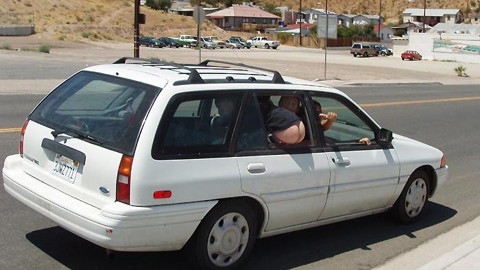
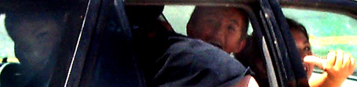
Hey, someone's mom and/or dad, wanna see what the kids were doing when they borrowed the car August 4, 2005 at 1:25PM? Thats right, they were mooning tourists who'd stopped to see your mural. That license plate number is 3JWZ771, by the way...just in case you ever decide to google the plate number of your white Ford Escort LX. Oh, here's an enhanced close-up of those little cherubs.
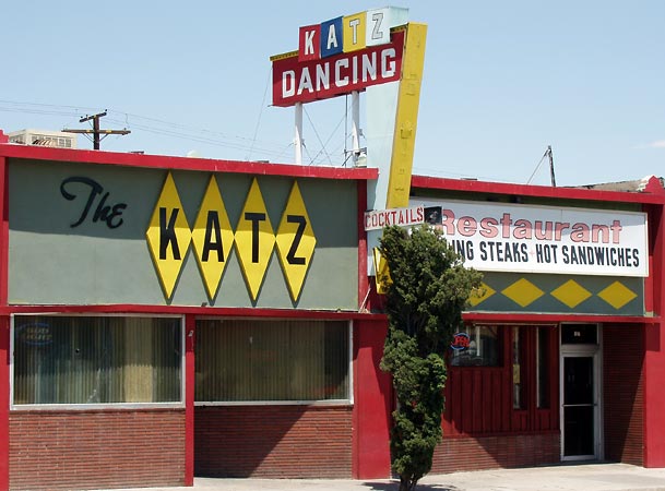
I'd really like to look inside the KATZ restaurant...dining and dancing...man, to have a place with good steaks and a band playing Sinatra while I dance with my pretty girlie.
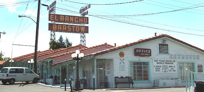
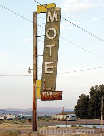
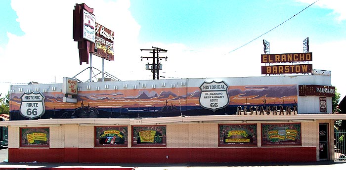
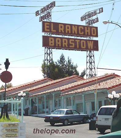
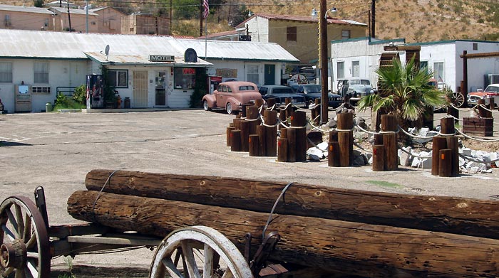
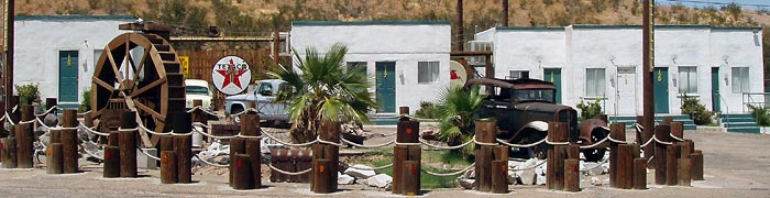
The "El Rancho Motor Motel"...or "The El Rancho Motel", depending on which piece of signage you go by, is probably the best known structure in Barstow; it is certainly the most visible with its 100 foot tall neon sign. I've seen several dates given as it's year of construction. The
legendsofamerica.com website places it at 1943 and says "the old motel is said to have once been frequented by the likes of Marilyn Monroe." A sign on the side of the building reads "EST. 1946." Author Tom Snyder, in his Route 66 Travelers's Guide, places it at 1947.
Geoffrey Willis, reporting for Roadsigns, the newsletter of the California Historic Route 66 Association, also placed the date as 1947 in an
article in the summer, 1994 issue: "For the second time in ten years, developer Rick Byers of Newport Beach, CA has rejuvenated Barstow,s landmark El Rancho Motel. On Thursday, July 21, '94 a grand opening party complete with food, drink, and mariachis was thrown to celebrate the occasion. New furniture, carpeting, and paint are now in place in new units; and swamp coolers have replaced ailing air conditioners in most cases. The pool once again sparkles and its' grand 100 ft. high neon sign has been completely restored."
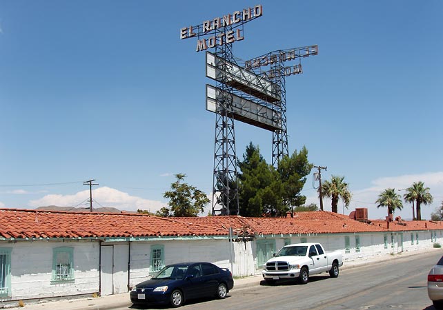
Willis continues, "It was built in 1947 entirely of railroad ties from the Tonapah and Tidewater Railroad. It served employees of the Santa Fe Railroad and travelers on Route 66 until 1979 when it was closed to the public and rented exclusively by the Santa Fe. In 1982 the Santa Fe abandoned the motel. Having lost its' major long term tenant as well as the majority of travelers to newer motels just off of I-40, El Rancho limped along until 1987 when Rick Byers, who concentrates on restoring older properties, bought it. At a cost of $400,000; it was entirely repainted, refurbished, and proudly reopened. Five short years later, however, it had declined into a state of disrepair and neglect due to ineffective management and hard times."
Willis: "In the spring of '94 Byers bought the property again and promptly poured another $300,000 into another restoration. This time is different in two major respects. El Rancho now features the Historic Route 66 Visitors Center adjacent to the motel office. There you will find maps, newsletters, and general tourist information geared specifically for those following the Mother Road. The walls are filled with colorful paintings and drawings evoking the atmosphere of the American West. No shortage of friendly and helpful assistance here either. Motel employees seem anxious to show off their new hospitality room. Each room door now displays a plaque which reads "World famous El Rancho Motel, Historic Route 66." A huge glass and neon sign in the shape of a highway shield is perched above the dining room proclaiming this historic landmark on old 66."
Willis: "The second distinguishing aspect of this renovation is the emphasis on long-term rentals. Although twenty-five poolside units will be reserved for overnight rentals, the other seventy- six units including twenty-six with kitchenettes are being promoted for senior residences. This is beneficial in two respects: 1) Re-establishing the long-term rental base lost when the Santa Fe moved out, 2) Reducing wear and tear created by transients and younger long-term renters."
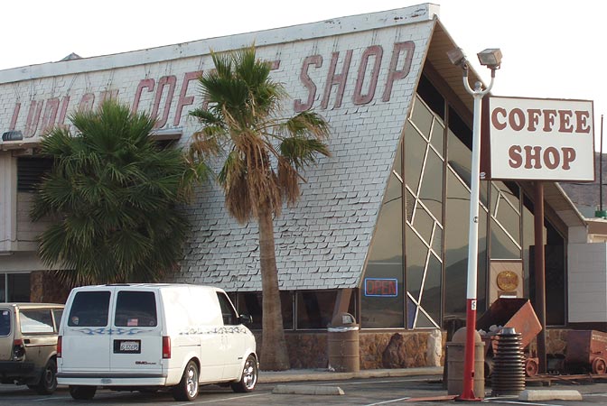
The really neat (though not updated since 2000) website,
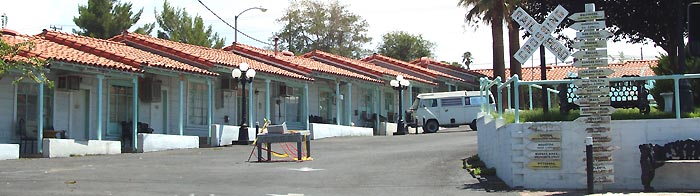
Virtual Barstow, offers this to say about the El Rancho: "The ORIGINAL Barstow Motor Hotel. This has the added charm of hosting a coffee shop (now closed) the Route 66 Visitor's Center, several awesome amateur murals (check out the one on the short wall, with the pseudo-Garza Native American waifs), and besides, it's in the heart of Downtown Barstow. Located where State Highway 58 crosses US Route 66, part of the motel is now being used for senior housing but the poolside rooms are still available for rent. If you're a Route 66 explorer, go here and nowhere else."
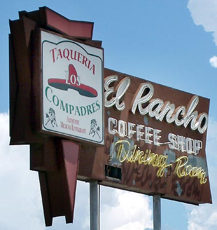
There was an "OPEN" sign on the El Rancho coffee shop when we passed through August 4, 2005, so it looks like it re-opened.
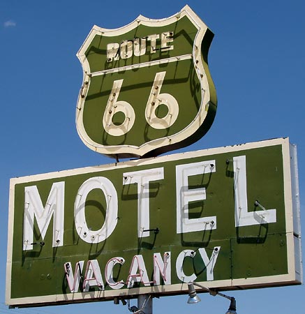
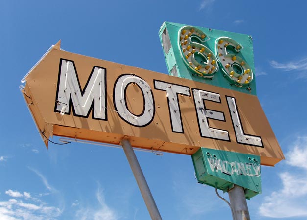
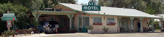
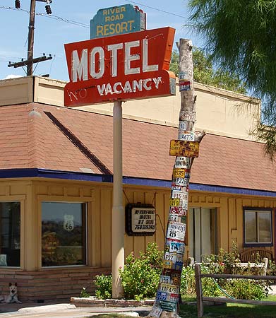
Down Rt66 to the west just a ways, you'll see the Route 66 Motel on the right (north). On 9/29/2003, USAtoday.com posted this
review in their travel section: "The rooms are clean, the rates are reasonable, and the folks are friendly." And swapping the name Barstow City Motel for the more evocative Route 66 Motel was good for business, too. The owners have "assembled an impressive collection of highway and pop culture memorabilia. Best of all, you can visit a nearby Route 66 museum in an old train station and support a town that refuses to fade into the desert." The article cites a website, www.route66motelbarstow.com, which was down at the time I posted this.
So, I gather the place changed its name and therefore the sign isn't very old...still, its cool. I've read good reviews of this place online, one dated just a few days before I posted this, so I assume its up and running.
There's a really cool
panoramic view of the motel court at virtualguidebooks.com, but here are my views.
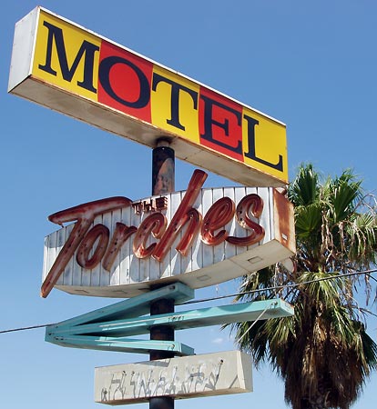
I didn't find much online about the Torches Motel, but I did spot one very dark (for my blog) tidbit. The defendent in a
murder case that made it to the California Surpeme Court, was living at the Torches when he commited the crime in 1990.
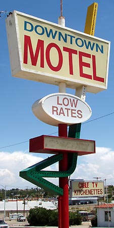
The Downtown Motel was built in 1954 and is for sale at the time of this writing. For those of you who have wondered how much money a 22-room Rt66 motel might make, the reported net operating income of this one is $118,580, at least thats what the real estate listings say. If you'd like to buy it, the asking price is $1,400,000.
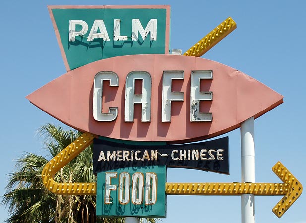
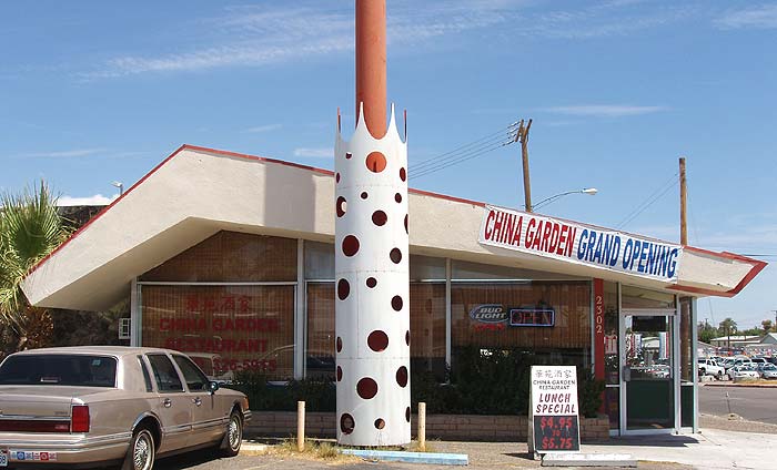
Los Angeles Time machines has
this to say about the Palm Cafe: "This nondescript Chinese restaurant is kind of fun. While it has sort of an old feel, it's full of odds and ends for sale like Indian dolls and jewelry. What I love about it is going there Sunday morning for breakfast. The counter tends to fill up with old timer's from Barstow in Cowboy hats. These are obviously people of the original western American culture that is so rapidly disappearing. Las Vegas used to be full of true Western Americans. Now you'd be very hard pressed to find these people without a lot of inside knowledge or random luck. The true western accent of this area is also almost completely gone. I guess it's sad but inevitable given the advent of TV and the migration trends that so many subcultures of America are disappearing."
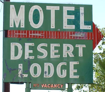
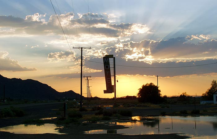
The last sign I shot in Barstow was the Desert Lodge Motel. I'd like to see it at night; I wonder if that arrow flashes in sequence?
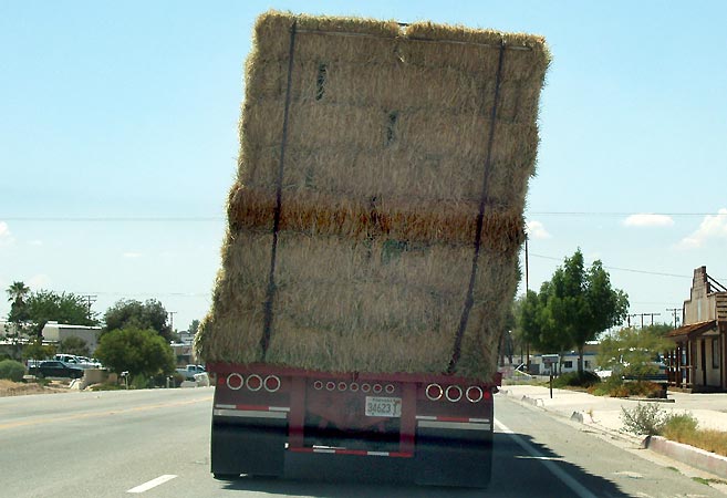
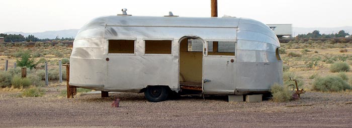
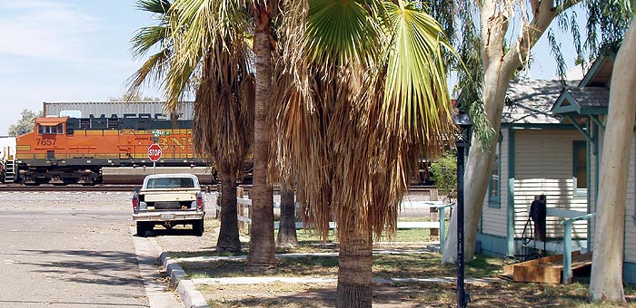
This isn't the kind of center of gravity I like to see in the vehicle in front of me. It really was *that* tilted; compare it to the phone poles and building fronts. Rt66 arcs a bit upward in the middle here, so that increased the angle. We passed it, and continued out of town on 66, on toward Oro Grande and Victorville.
For our entire July-August 2005 Rt66/I-40 trip, see:
Joplin to AmarilloAmarillo to HolbrookHolbrook to WinslowLa PosadaGrand CanyonSeligmanwestern AZFrom the California border onward, we stayed to Route 66:
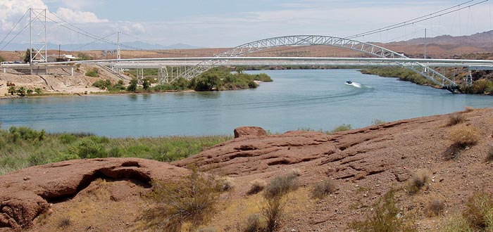
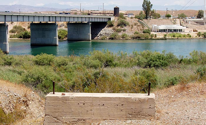
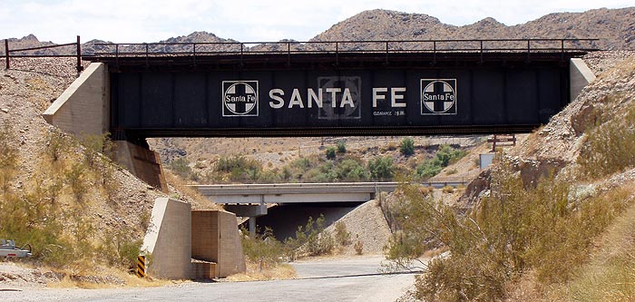
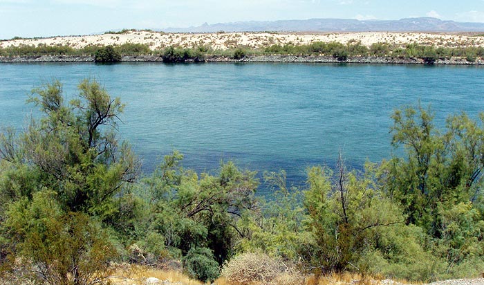
Colorado River crossingNeedlesNeedles to FennerFenner to AmboyAmboyAmboy to BarstowBarstowBarstow to VictorvilleVictorville - California Route 66 MuseumVictorville to RialtoRialto Wigwam MotelOuter Los AngelesLos AngelesSanta Monica PierOther posts concerning California:
The Future was so Cool in 1961Goodbye, Sam's Seafood
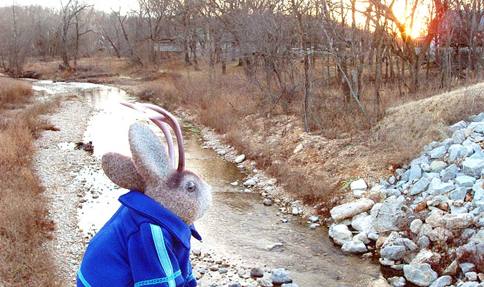
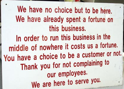
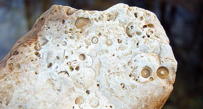
 One should always ask questions.
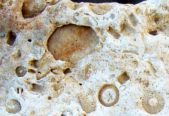
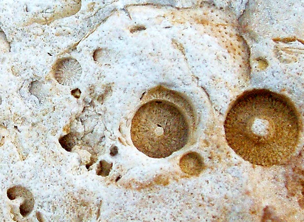
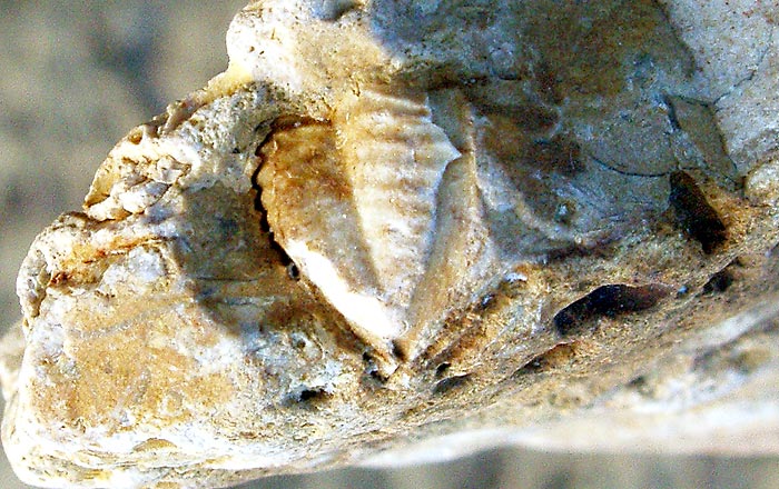
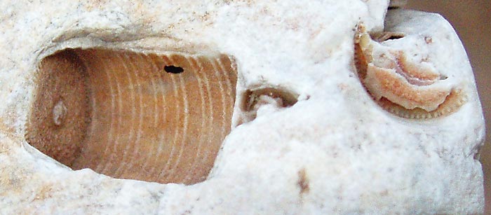
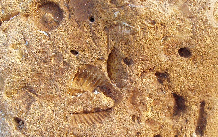 All of that was on the same section of rock, about three by three inches.